Waking up was not the greatest. It was a cold night, which means that the car turned in to a swamp, even with the windows cracked open. But as the saying goes: “when life gives you swamp water, microwave it and feed it to your blog so it can maintain a healthy and shiny coat.”
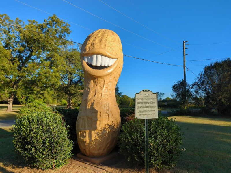
We went through all the standard POST steps, and headed back to the Peanut. The Peanut itself is kinda underwhelming. I mean, it’s pretty cool, but it’s next to a gas station that doesn’t even have keychains. It’s literally just a gas station that we would actively avoid in any other circumstances. I’ve now put more words in to describing the gas station than I have the Peanut. But still, it was pretty cool, and a treasured part of Americana history. It deserves the capital P.
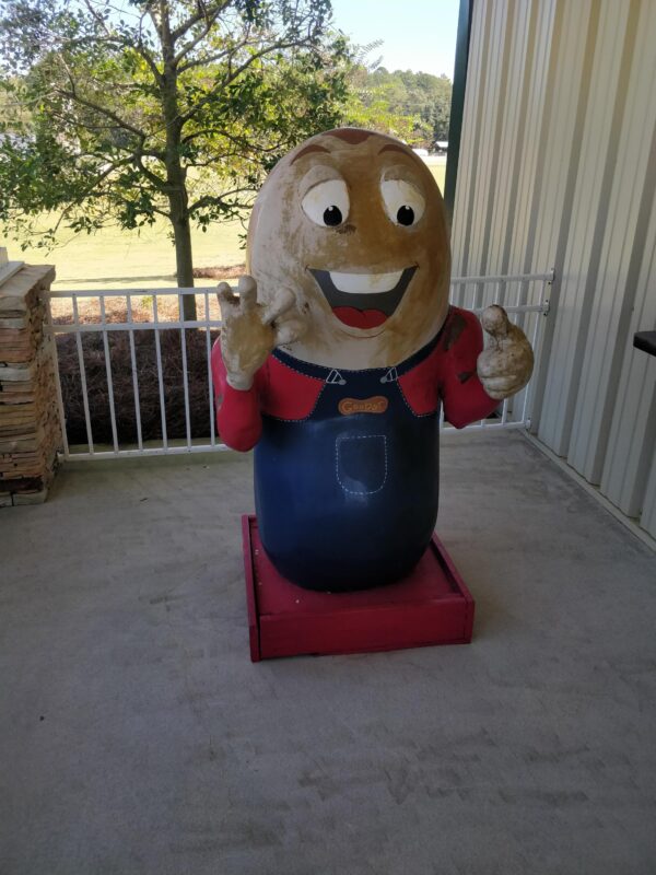
Moving on from the Peanut itself, we drove a block or two to the actual Jimmy Carter National Historical Site. We’re still not sure if it’s part of a school and there’s a school break on, or if the site just lives at an old school. There was no students, either way. The tl;dr is that Jimmy Carter really loved peanuts. The gift shop, despite being part of a Peanut based economy, did not have a Peanut based keychain. I got a Terry the Bison instead.
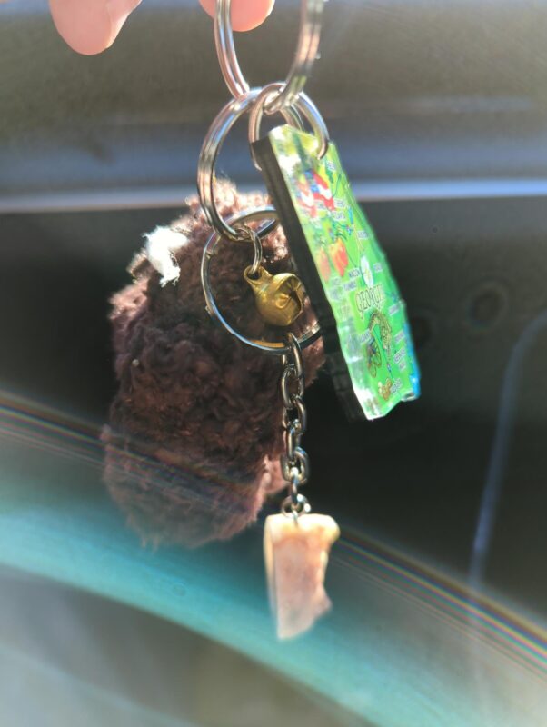
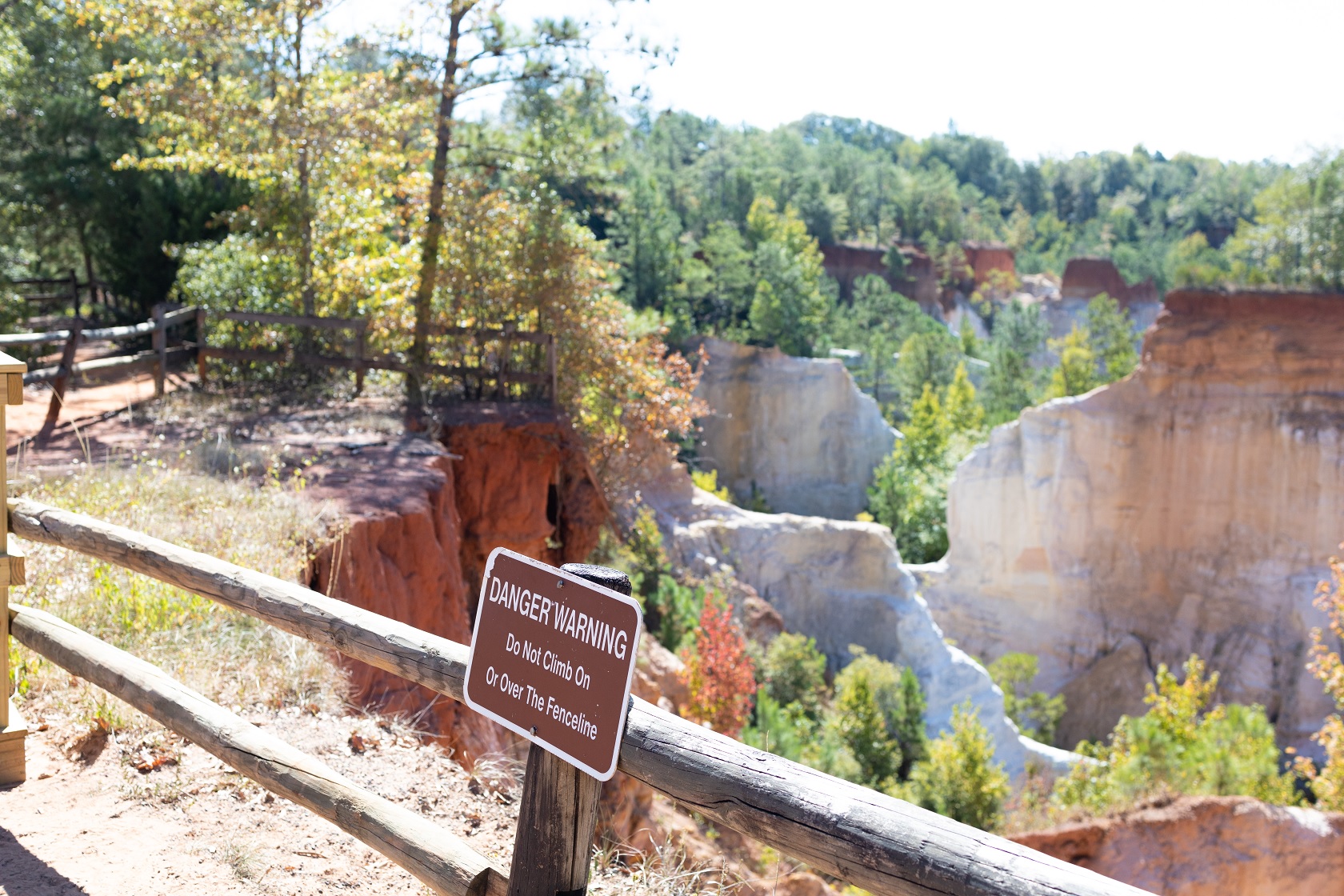
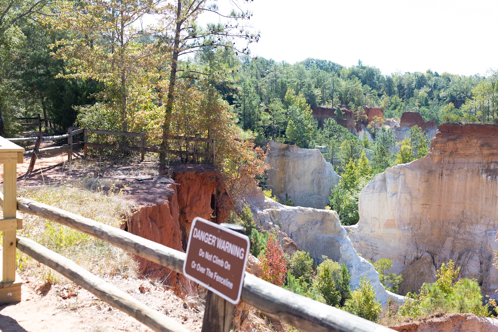
Next on the list was the optional objective of Providence Canyon, which is like a mini Grand Canyon made in a sand pit, made over the period of a couple hundred years, instead of tens of thousands of years. Basically a couple hundred years ago they didn’t properly take care of the land, which resulted in uncontrolled erosion. Even now it’s an active process, with obvious signs of viewing platforms collapsing and such. At least they had keychains though, I got one with a geode.
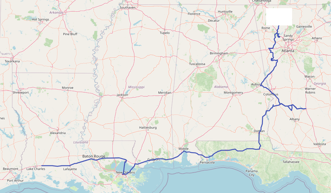
Backing carefully away from the edge, we didn’t have much of a plan, the next planned event was to cross the Lake Pontchartrain bridge out of NOLA, which is probably the only common objective between this and other trips. This would take us through Alabama, Florida, and (duh) Louisiana. Alabama was largely uneventful, except there was a National Peanut Festival, which we took a look at. Because peanuts.
Not sure what is normally there, but it looks like a huge festival grounds, which we assume is also used for things other than the National Peanut Festival. If it’s not, that means that this huge area exists purely to support a yearly event. But there’s a lot of empty space in Alabama anyway, so maybe it does.
Next stop was getting my mate added to the car, so he can do some of the driving. That’s Florida though, which means another map. Florida map in hand, we headed to Pensacola, did some paperwork, and moved on with our lives without taking any photos. It’s a Budget shop-front. You don’t need photos. When we hit Louisiana, the Visitor Center was closed, which means acquiring a map would be difficult. Problem for tomorrow though.
Getting to the bridge was a bit of a mess, but we made it. It was a bridge. Long bridge. 30 miles or so. We had some time to kill, so we started to discuss dinner. I had a simple idea, and a bit of a plan. The idea was simple: find some food at the end of the bridge. The plan was even simpler: drive to the water and eat it while enjoying the watery view. It’s not the most precise plan, but my mate was willing to see how it played out.
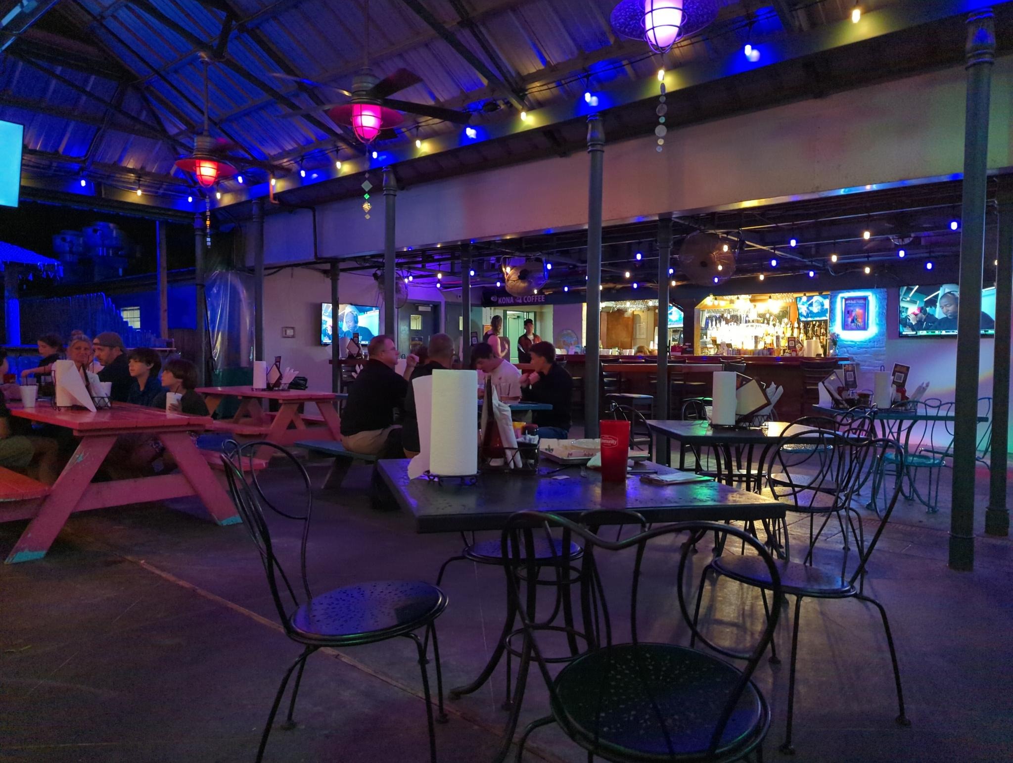
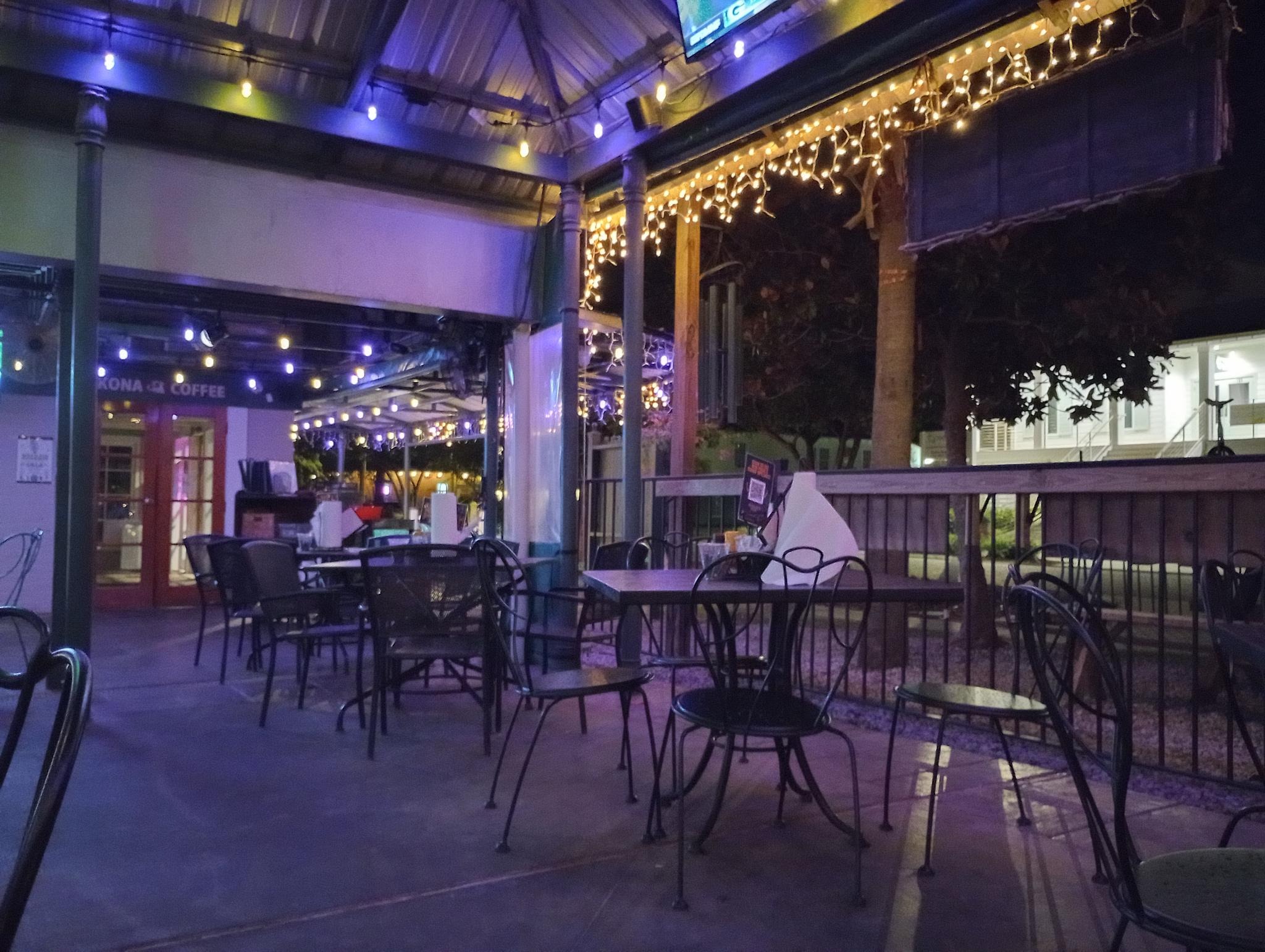
Driving down the drag, we passed the usual chain fast food joints, none of which were appealing. All the local stuff appeared closed. There was a Mexican joint which was a possible candidate, but I had high hopes for a cluster of restaurants right next to the water. Turns out this was the correct option: the Beach House can best be described as a stereotype from a movie. An open air bar, warm sea breeze, great food. It was like something out of a movie.
A poboy and waffle fries later, and we’re back on the road, heading vaguely west. Around midnight we stopped at a Love’s in Lake Charles, Louisiana, and bedded down for the night.
Summary
- Daily distance: 1213km / 754 miles
- Total distance: 1813km / 1127 miles
- Keychains: 2 new, 5 total
- Maps acquired:
- Georgia
- Alabama
- Florida (new!)
- Days behind live: 3

Leave a Reply