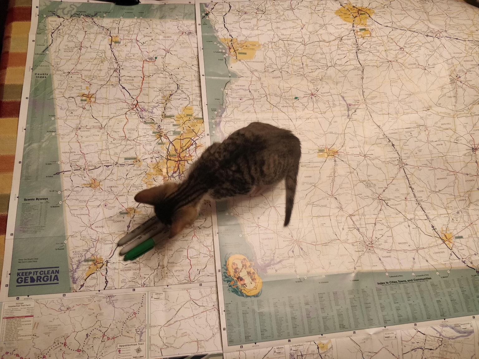
The elites don’t want you to know this but the maps at the visitor information center are free. You can take them home. I have 2 maps.
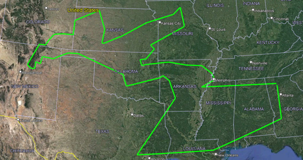
I headed off for GA this morning, got here around 930pm or so. It was mostly uneventful, except for two noteworthy events.

The second: the GA visitor information center where I grabbed a couple of maps.
Having arrived in GA, we started working out a plan. Now the original plan was a little messy, but overlaid on historical and future trips, it looks something like this:

Now I know this is a lot to take in, so we can simplify it a bit.

Let’s break this down:
- Peanut
- Bridge
- Burger
- Spooky
- High
- Popeye
- Museum
- Museum
- Museum (unknown)
- Road
- Road
- Meow
- Road
- High
- Gallery
- Wire
- Sculptures
- Salt
- COSMOSPHERE
- Henge (maybe)
- Goose
- Chair
- Icebox
- Henge
- Birds
- Machinery
- NASA
- Oil
- Mid
- Whale
- Weird shit
- Guns
- Jesus
- Naked Joe
- Crystals
- Swamp (but not wordpress, it’s a different swamp, no microwaves)
All this and more in just two weeks? Maybe. Who knows. I haven’t written it yet, but we’re going to avoid phone based maps generally, and stick with paper and hope. Here’s what we have so far for GA and getting to the Peanut:

There’s a pretty low quality image, so here’s what we’re gunna try and do:
- We mark where we are / where we’re going (the farm and the Peanut).
- We find optional places to visit, using the general rule of national parks are pretty and we don’t want to be stuck near Atlanta during rush hour.
- We make a plan from green to pink to green, to figure out our final targets.
- We assess the roads between targets, aiming to minimize interstate, and maximize pretty roads using local knowledge and the list of scenic byways.
- We put in a red line along the road.
Once the red line is in, that’s it, we’re committed to that road. Will we always make it? Who knows. Also this took like an hour of planning to figure out how to get to the first pink dot. We’ll figure out the next step at the next dot, because if there’s one thing that sounds like fun, it’s going to *checks notes* Red Top Mountain, and trying to plan a route on a paper map.
It’s going to be a disaster. Oh, and I’m allergic to the kitten.
Leave a Reply